Comprehensive Geophysical Services

Professional geophysical consulting solutions for mining, infrastructure, environmental, and engineering applications across diverse industries.

Our Services

Comprehensive geophysical consulting solutions for mining, infrastructure, environmental, and engineering applications.

Mineral Exploration & Resource Assessment

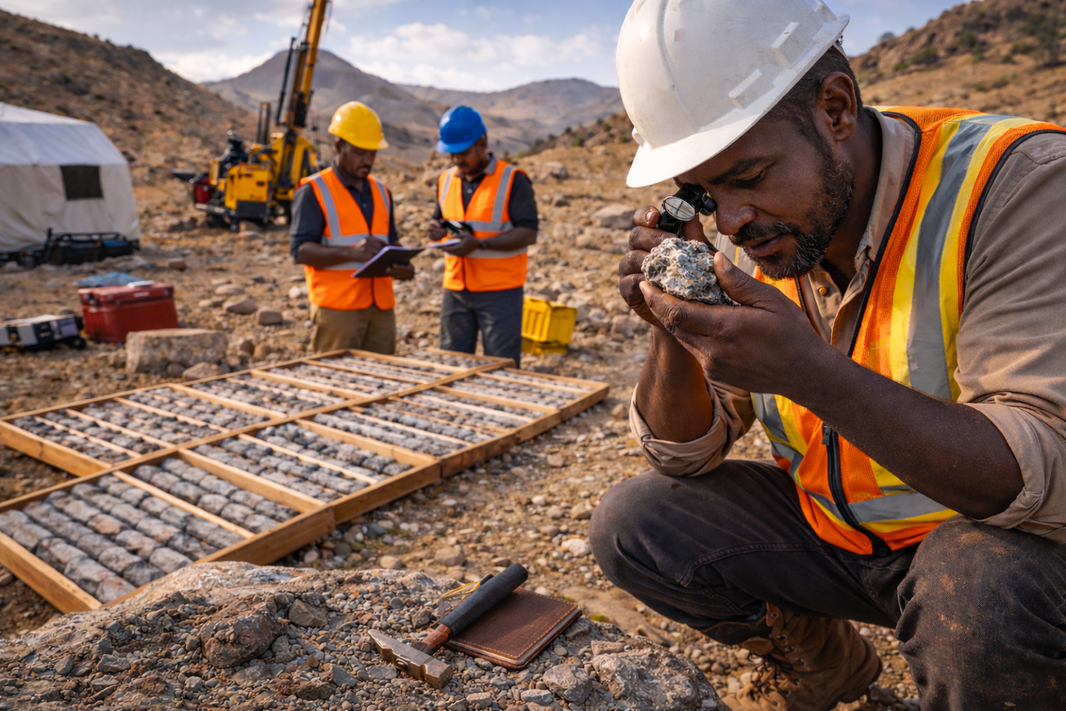
Comprehensive geophysical surveys and mineral resource evaluation using advanced exploration techniques and cutting-edge technologies.

  • Geophysical surveys (magnetic, electromagnetic, resistivity)
  • Mineral resource mapping and assessment
  • Deposit characterization and modeling
  • Exploration target generation
Hydrogeological and Ground Water Investigations
Hydrogeological Investigations

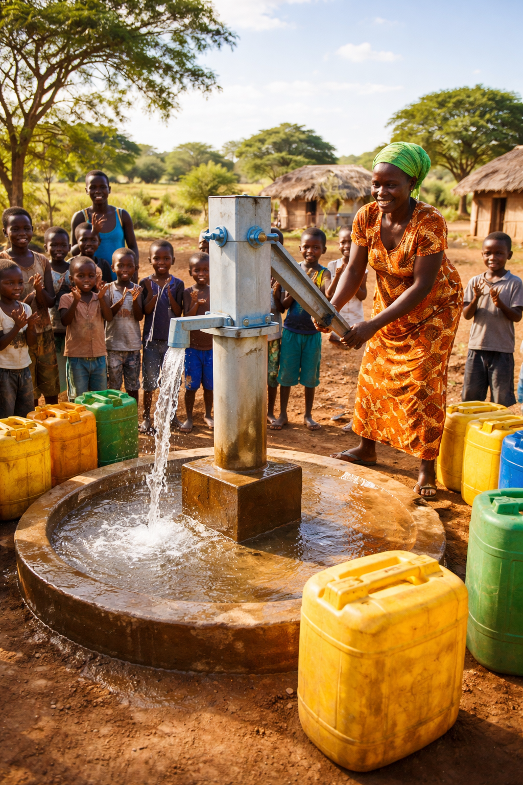
Expert groundwater exploration, aquifer characterization, and water quality assessment for sustainable water resource management.

  • Groundwater exploration and well siting
  • Aquifer characterization and testing
  • Water quality assessment
  • Hydrogeological mapping
Geotechnical Studies

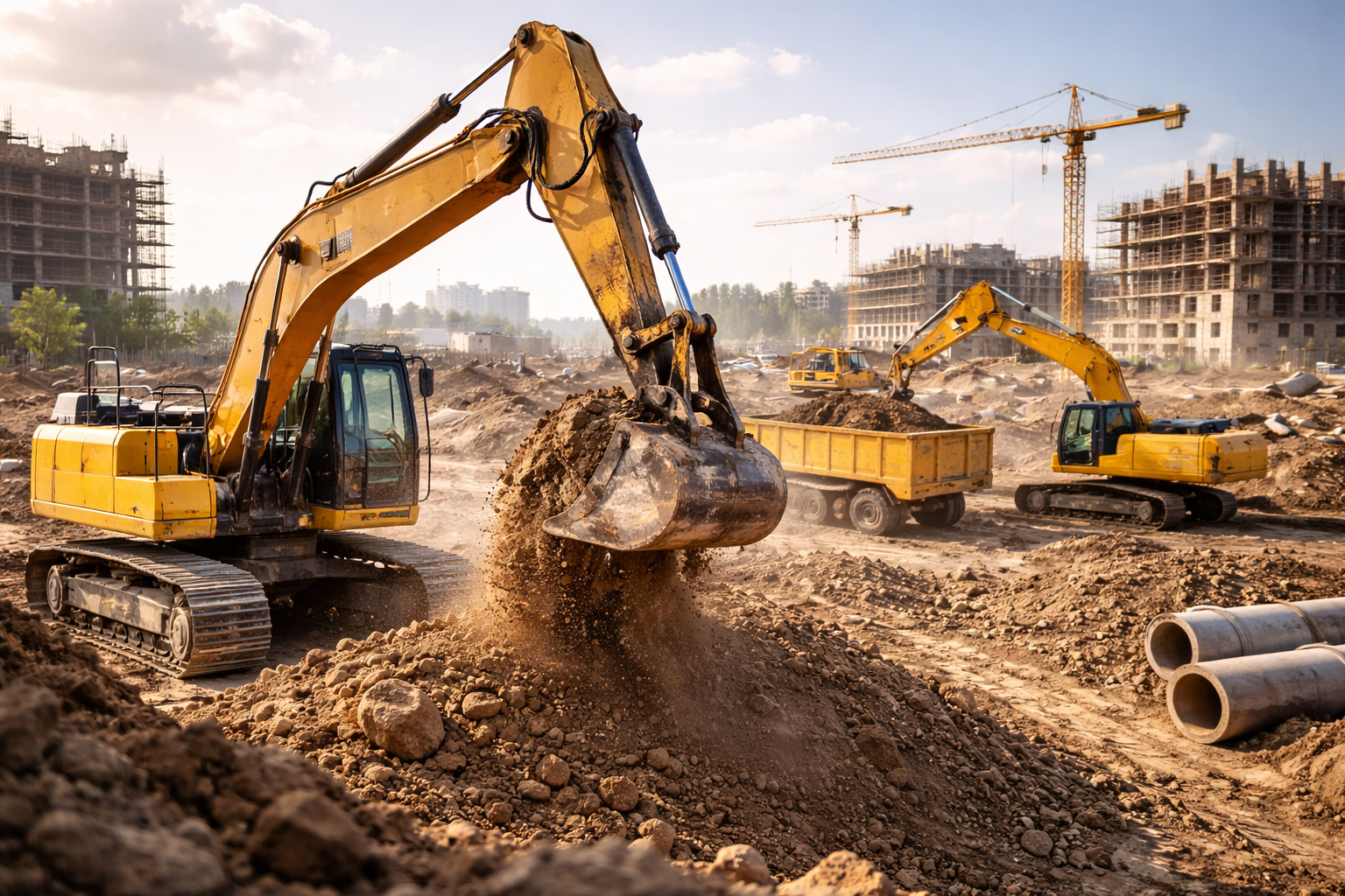
Site investigation, foundation design, and geotechnical analysis for infrastructure development and construction projects.

  • Site investigation and soil characterization
  • Foundation design and analysis
  • Slope stability assessment
  • Geotechnical instrumentation and monitoring
Geological Field Mapping

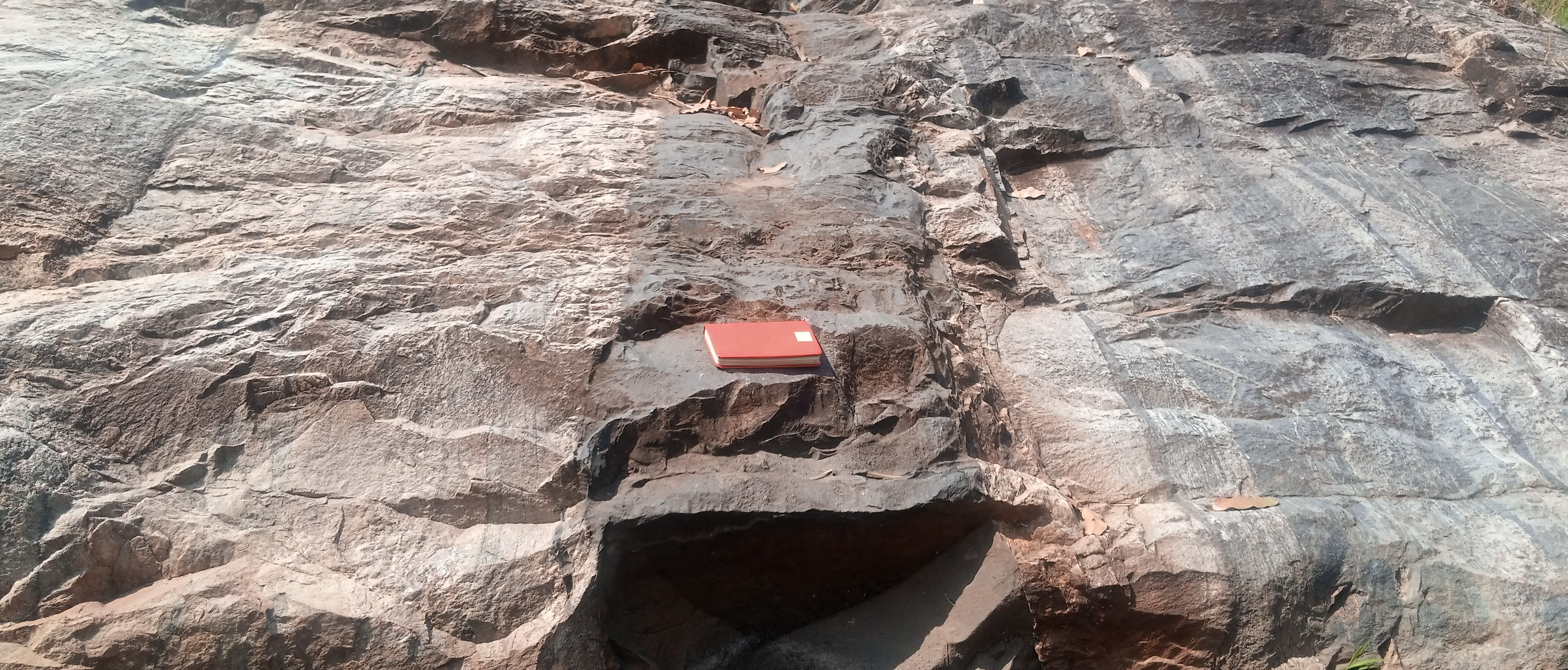
Detailed geological field mapping services including structural analysis, lithological characterization, and digital map production.

  • Detailed geological field mapping
  • Structural geology analysis
  • Lithological characterization
  • Digital geological map production
Geophysical Equipment Rentals, Maintenance, and Installation
Equipment Rentals, Maintenance, and Installation

State-of-the-art geophysical equipment rental, expert installation services, and comprehensive technical support.

  • Geophysical equipment rental
  • Equipment installation and calibration
  • Data acquisition support
  • Technical training and consultation
Environmental Studies - ESIA

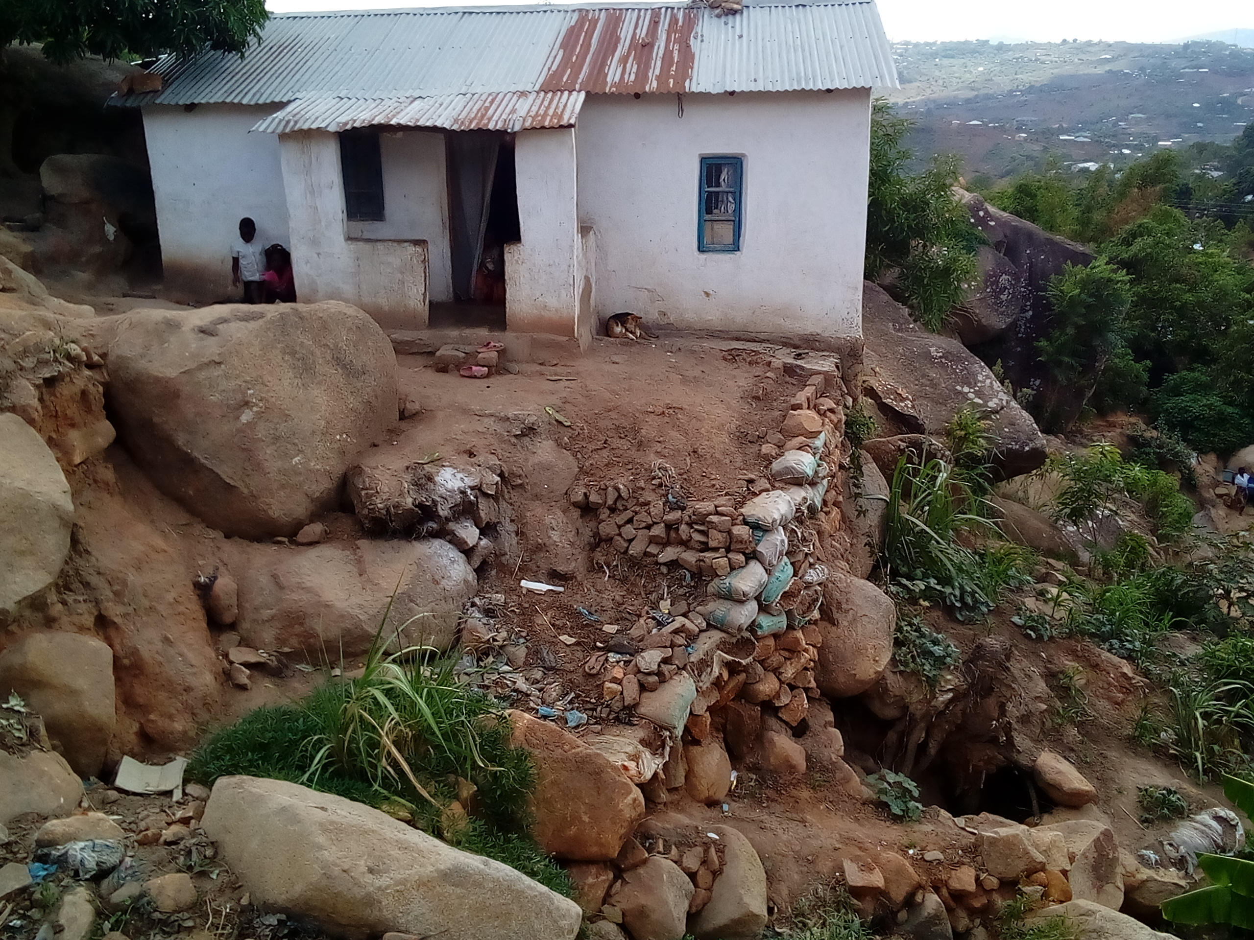
Environmental impact assessments, ecological baseline studies, and sustainability consulting for responsible development.

  • Environmental impact assessments
  • Ecological baseline studies
  • Environmental monitoring programs
  • Sustainability consulting
Remote Sensing and GIS

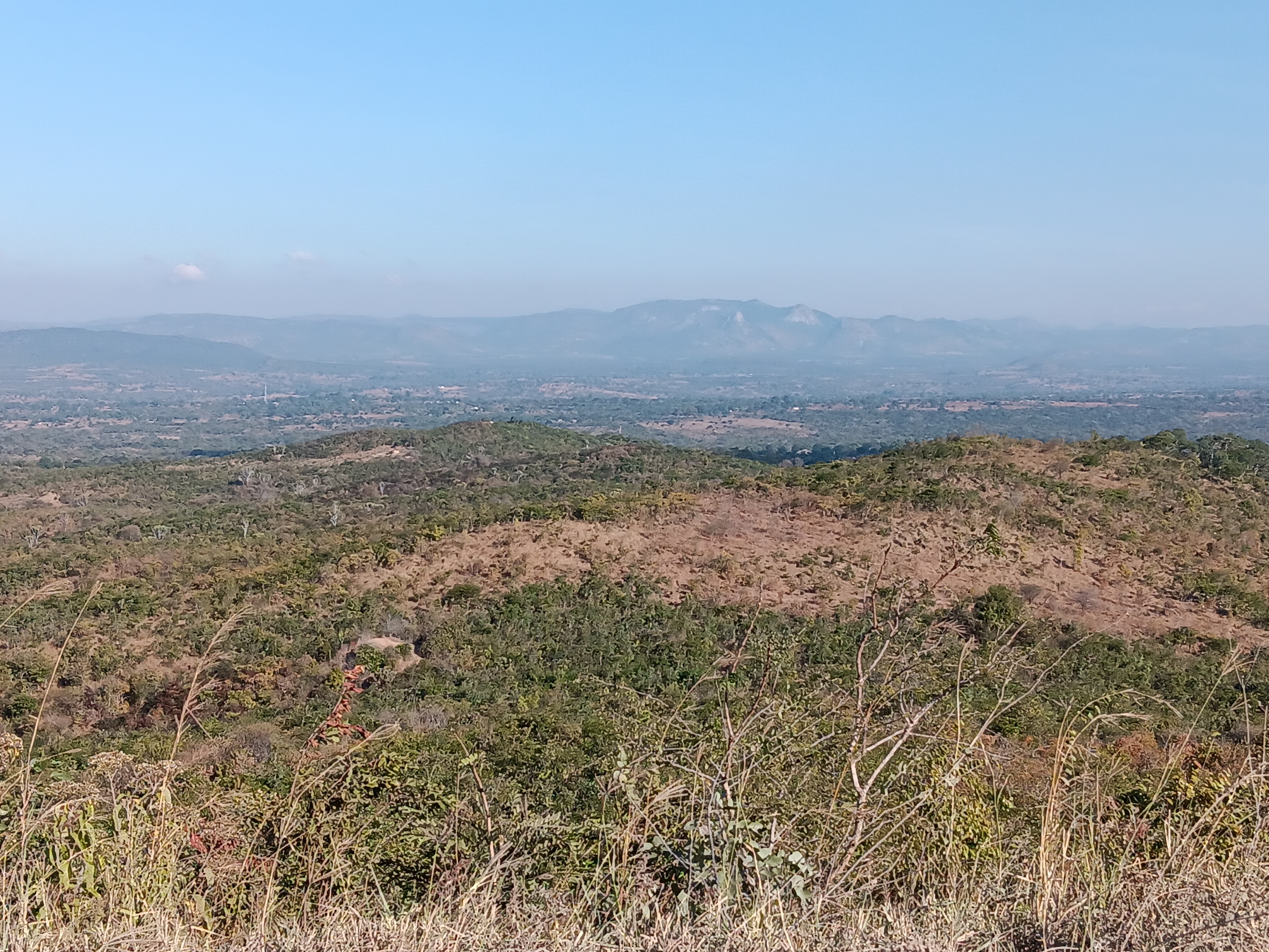
Satellite imagery analysis, GIS mapping, spatial analysis, and geospatial database development for informed decision-making.

  • Satellite imagery analysis
  • GIS mapping and spatial analysis
  • Land use and land cover mapping
  • Digital terrain modeling
Seismic Hazard Assessment and Monitoring

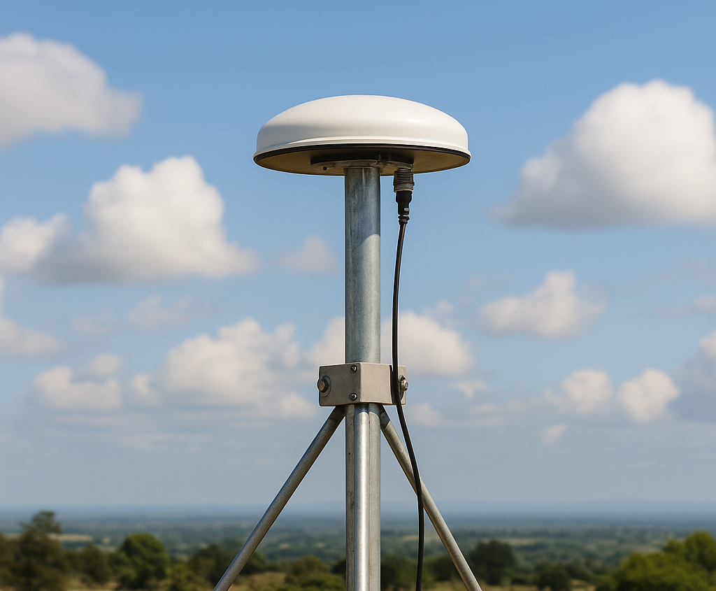
Seismic risk analysis, earthquake hazard modeling, site-specific seismic studies, and HVSR investigations.

  • Seismic risk analysis and zonation
  • Earthquake hazard modeling
  • Site-specific seismic studies (HVSR)
  • Ground motion prediction
Blast, Traffic/Train-Induced Vibration Assessment

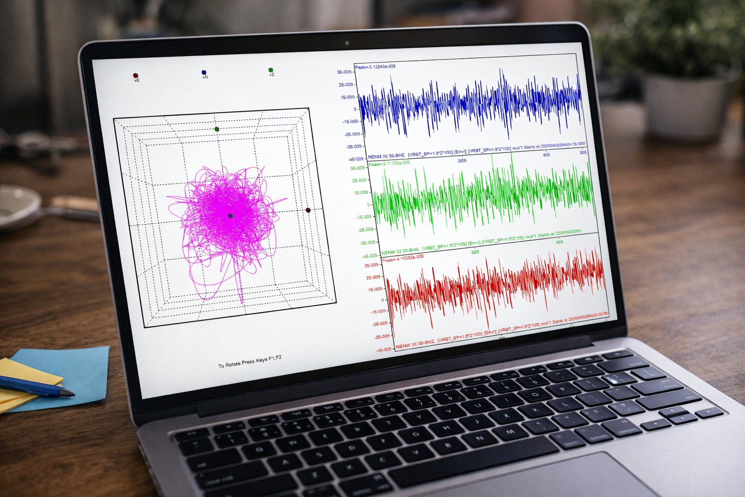
Construction and blasting vibration monitoring, structural vibration assessment, and mitigation strategy development.

  • Construction vibration monitoring
  • Blasting vibration analysis
  • Structural vibration assessment
  • Compliance monitoring and reporting
Structural Health Monitoring and Assessment

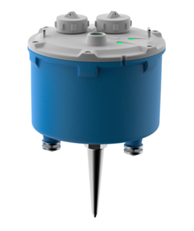
Real-time structural health monitoring, infrastructure stability assessment, and early warning systems for critical structures.

  • Real-time structural health monitoring
  • Infrastructure stability assessment
  • Deformation monitoring systems
  • Early warning systems
Geophysical/Geological Modeling

Geophysical/Geological Modeling

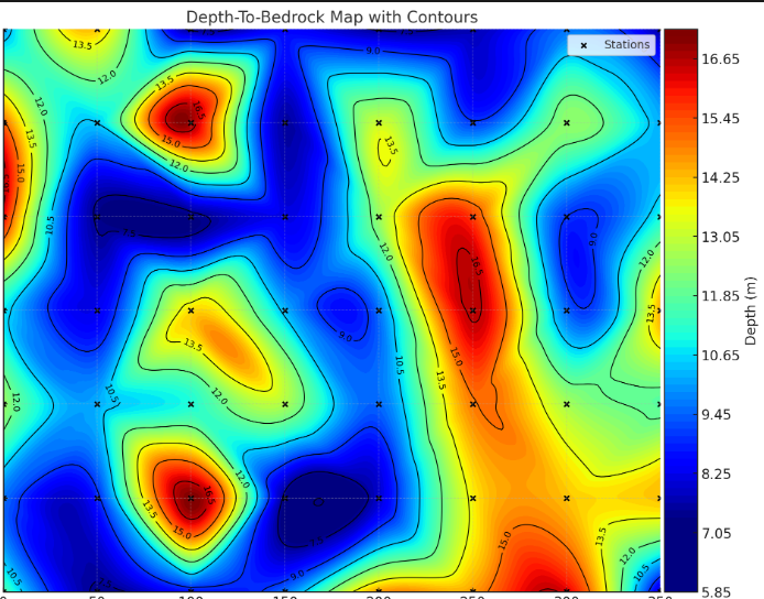
Geological and geophysical modeling, subsurface characterization, and integrated geophysical interpretation.

  • Geological modeling
  • Subsurface characterization
  • Integrated geophysical interpretation
  • Resource estimation modeling
Data Analysis and Interpretation

Seismic reflection/refraction analysis, bathymetric processing, gravity data interpretation, and multi-method integration.

  • Seismic data analysis
  • Bathymetric data processing
  • Gravity data interpretation
  • Multi-method geophysical integration
Database Management and Web Development
Database Management and Web-Based Applications

Geodatabase design, spatial database systems, web-based information systems, and cloud-based geospatial platforms.

  • Geodatabase design
  • Web-based information systems
  • Custom web application development
  • Cloud-based geospatial platforms
Engineering Services

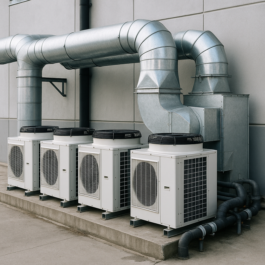
Electrical engineering, electronic systems, telecommunications infrastructure, refrigeration, HVAC, and plumbing systems.

  • Electrical engineering and installations
  • Electronic systems design
  • Telecommunications infrastructure
  • HVAC and plumbing systems
<