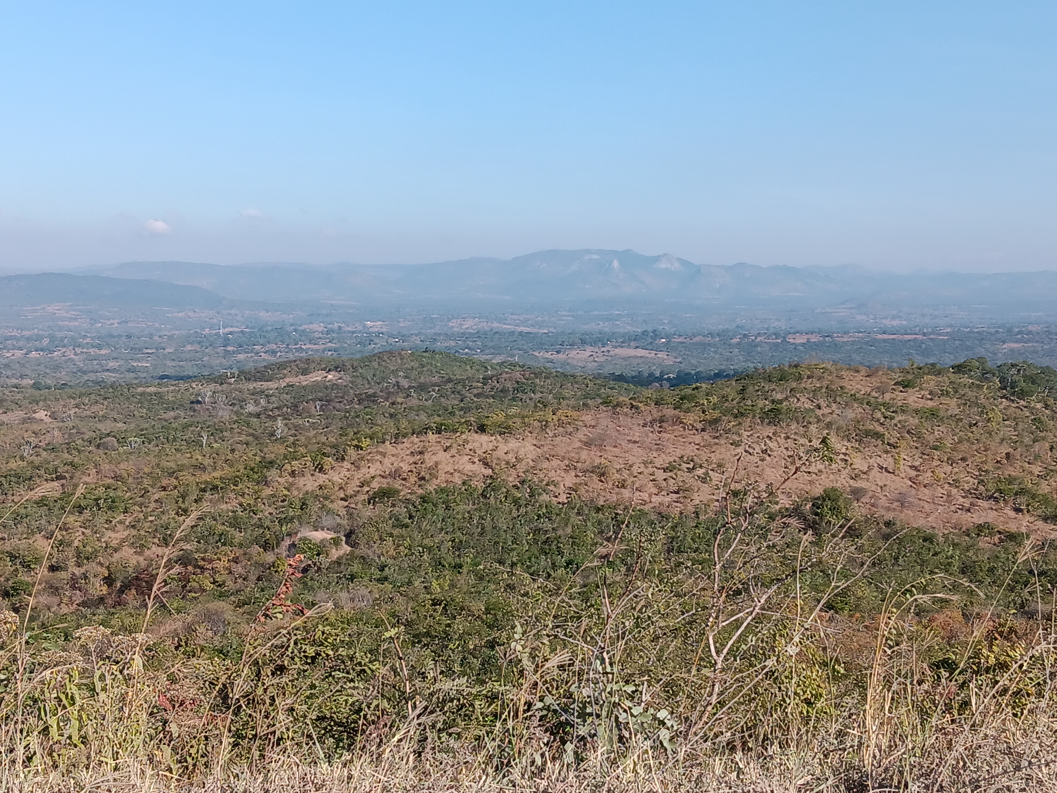
Comprehensive geological field mapping and structural analysis in remote terrain locations.
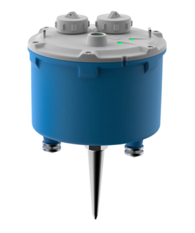
High-precision broadband seismometer for continuous ground motion monitoring.
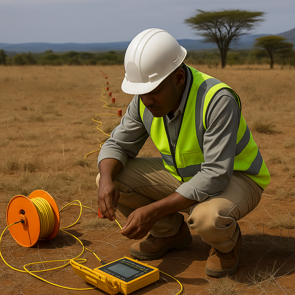
Professional installation of seismic monitoring equipment and network setup.
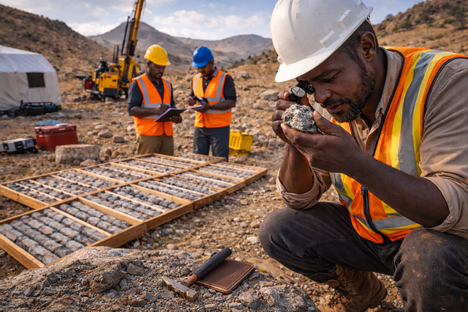
Geophysical surveys for mineral resource identification and assessment.
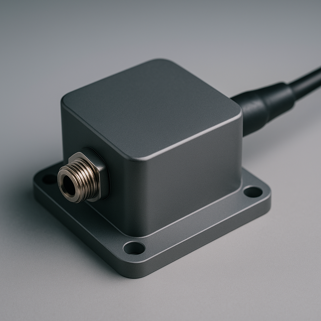
Advanced accelerometer for structural monitoring and vibration analysis.

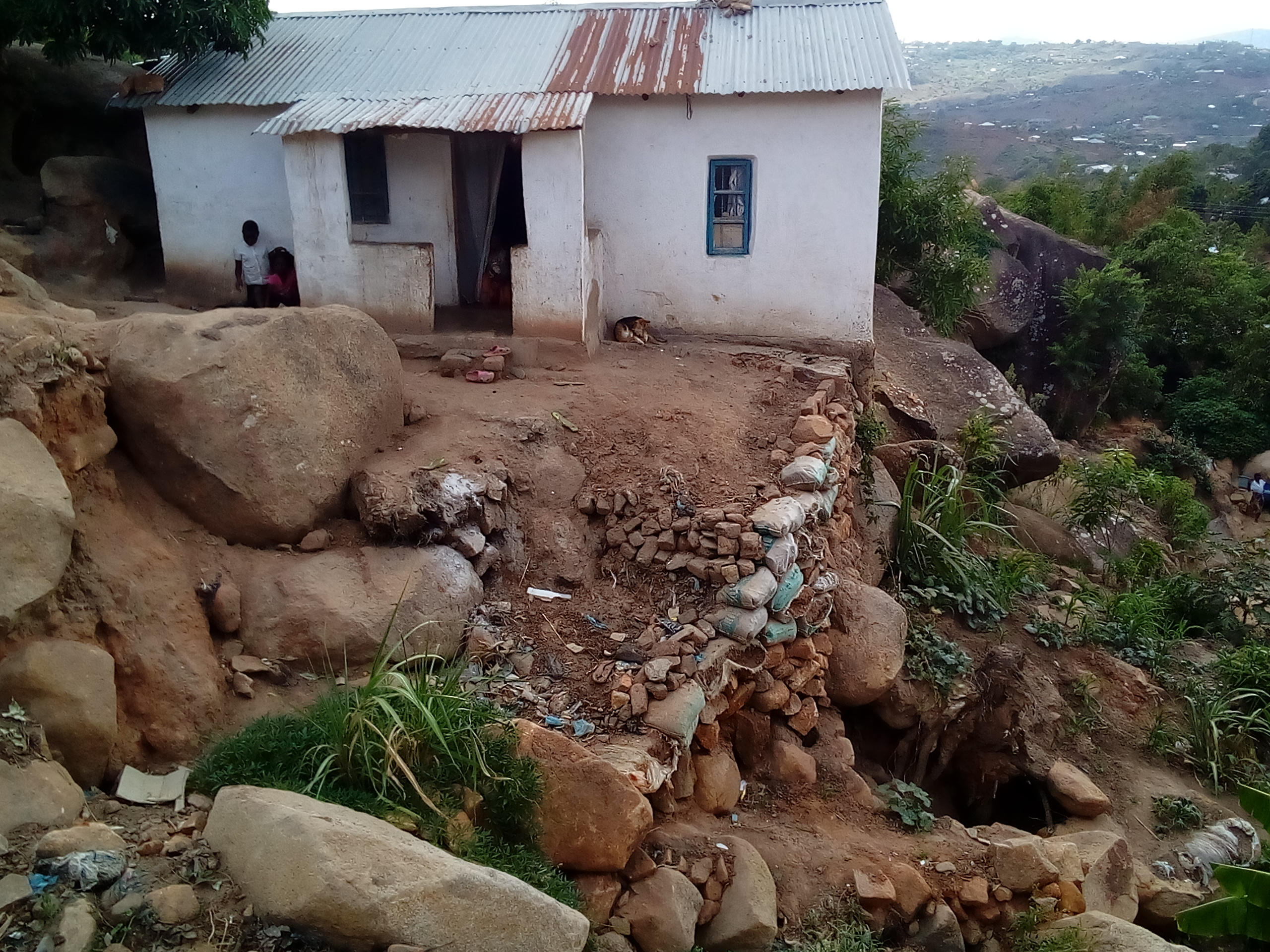
Site-specific seismic hazard evaluation for critical infrastructure projects.

Assessment of traffic and train-induced vibrations on nearby structures.

Hydrogeological investigation for sustainable water resource development.
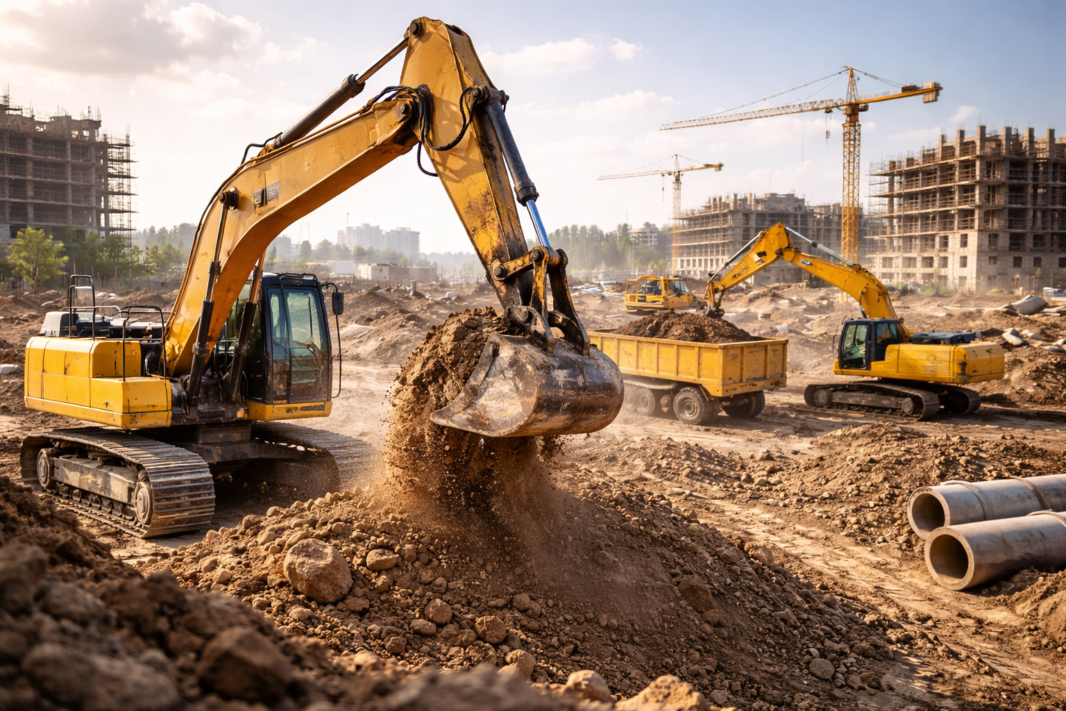
Comprehensive geotechnical studies for infrastructure development.

Advanced processing and interpretation of seismic monitoring data.
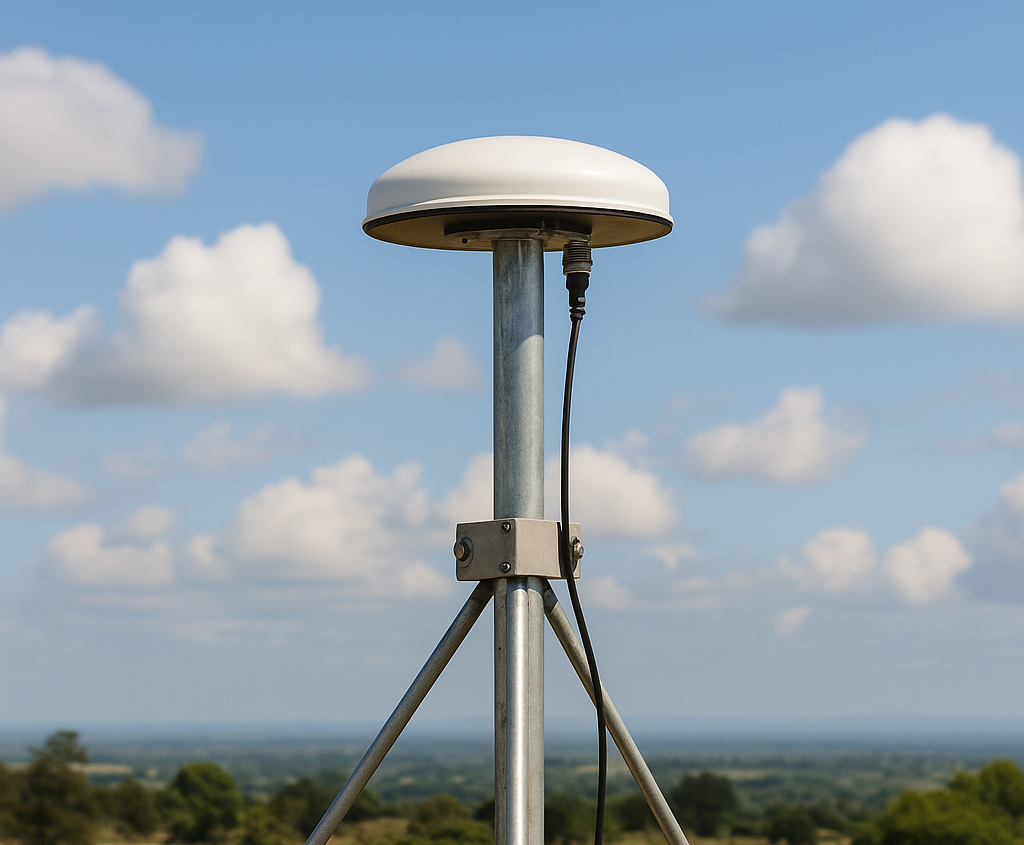
Satellite imagery analysis and spatial data mapping for exploration.
Environmental impact studies for sustainable development projects.